AI Vision Drone for Real-Time Object Detection & Aerial Monitoring
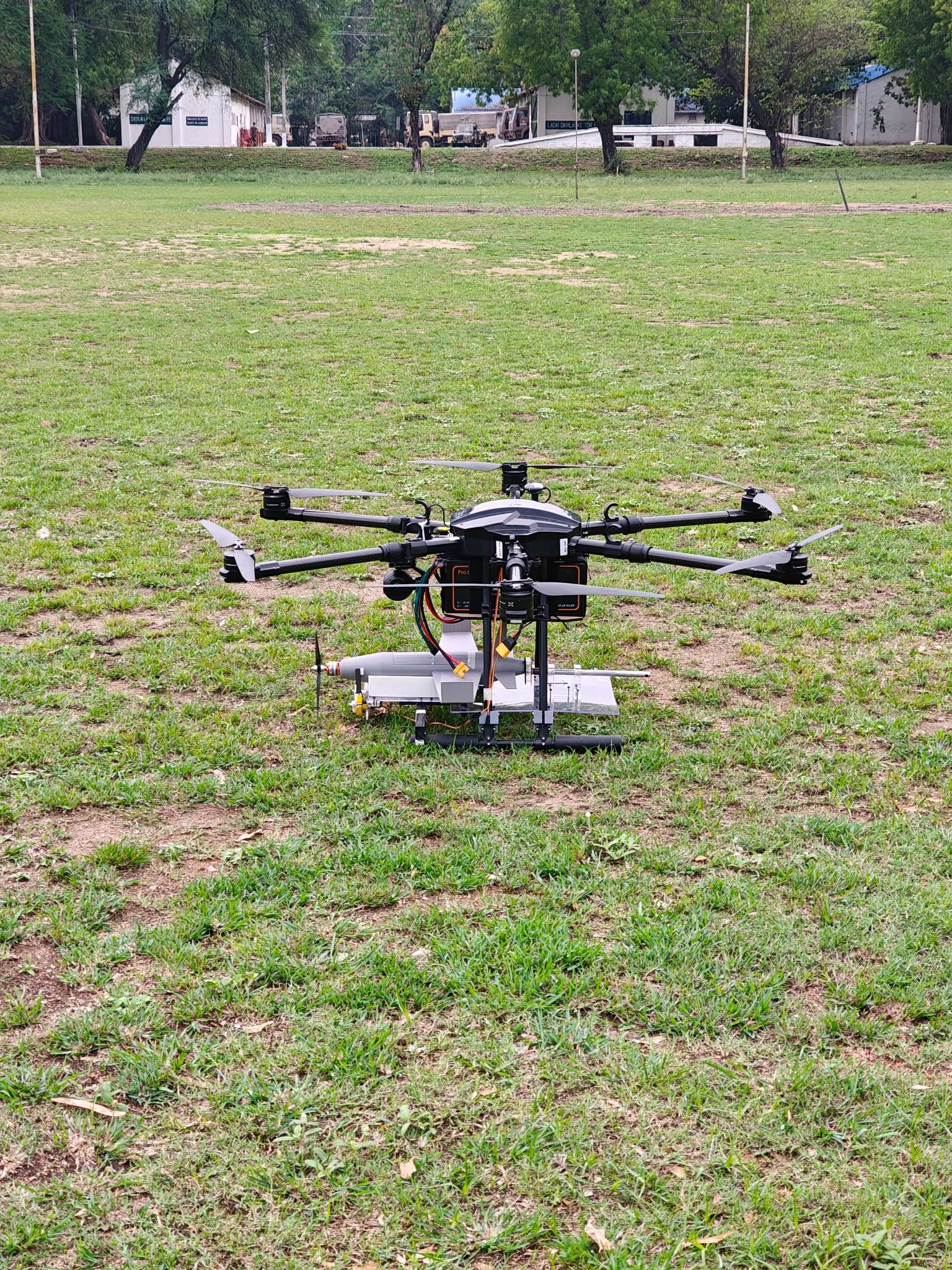
Elexnova provides an enterprise-ready AI-enabled drone vision solution that synchronizes high-definition aerial video, real-time edge inference, and aircraft telemetry (MAVLink) for mission-critical inspection and surveillance workflows.
Custom YOLOX
Real-time object detectionLow-Latency RTSP
Auto stream reconnectionMAVLink 2.0
Target geolocation syncTurnkey / Edge
Customized hardware scopeEnd-to-End Real-Time AI Drone Pipeline
How Elexnova combines live camera streaming, edge neural network inference, and flight autopilot telemetry into a unified ground-control solution.
Aerial Video Capture
The gimbal camera streams ultra-low latency RTSP video with auto-reconnect handling for uninterrupted airborne feeds.
YOLOX Edge Inference
Custom-trained neural network parses video frames in real time, detecting target objects with high confidence and bounding boxes.
MAVLink Telemetry Fusion
Aircraft altitude, heading, GPS coordinates, and camera angles are fused with detections to estimate geographic target coordinates.
GCS Command Dashboard
Real-time video HUD overlays, telemetry widgets, and alert logging enable mission operators to take immediate action.
Engineered for Enterprise Operational Demands
Every layer from sensor optics to neural inference is configured to fit your mission parameters and aircraft hardware.
Real-Time Aerial Object Detection
High-accuracy detection of vehicles, equipment, crops, structural defects, or human activity from live drone video streams.
Live Video-Inference Pipeline
Stream-optimized architecture handling low-bandwidth feeds, packet loss recovery, and automatic RTSP re-establishment.
Object Tracking & Visual Overlays
Multi-object tracking with persistent track IDs, dynamic bounding box colors, confidence scores, and custom telemetry overlays.
Telemetry & Ground-Control (MAVLink)
Direct integration with QGroundControl, Mission Planner, and custom ground-control software via standard MAVLink protocols.
Custom Model Training & Data Workflows
Dataset collection, annotation, data augmentation, hyperparameter tuning, and export into optimized TensorRT / ONNX engines.
Geographic Coordinate Projection
Combines gimbal pitch/yaw, drone barometric height, and GPS to triangulate geographic target positions on digital maps.
Where AI Vision Drone Technology Delivers Impact
Deployed across commercial, agricultural, and research environments with application-specific safety protocols.
Aerial Inspection & Asset Monitoring
Autonomous or piloted visual surveys for transmission towers, wind turbines, pipelines, bridges, and solar installations.
Agricultural & Crop Observation
Crop health classification, weed density scouting, irrigation leak mapping, and livestock counting across expansive farmland.
Site Monitoring & Security
Perimeter intrusion monitoring, construction progress documentation, warehouse yard traffic, and search-and-rescue assistance.
Robotics & Computer Vision Research
Academic testbeds, advanced multi-agent aerial robotics demonstrations, and benchmark testing for edge-compute devices.
Configured for Your Operational Workflow
The solution brings together computer vision, streaming video, drone telemetry, data preparation, model training, and operational integration tailored around your flight platform.
Commercial Deployment Scope
Elexnova configures camera hardware, AI model weights, ground-control display, and compliance documentation. Operations remain subject to applicable aviation permissions.
Real-Time Vision, Telemetry, and Target Context
The implemented pipeline processes a live RTSP video stream with a custom YOLOX detection model and maintains a usable output stream for ground-control viewing. The video workflow includes reconnect handling for interrupted streams and uses aircraft telemetry to associate detected objects with flight context.
For supported configurations, image coordinates can be projected into a geographic target estimate using telemetry and camera geometry. MAVLink integration supports communication with a ground-control workflow, while the final detection classes, geolocation logic, hardware, and operator controls are defined for the approved commercial application.
System Integration Checklist
- ✓ Flight platform selection (Quadcopter, Hexacopter, VTOL)
- ✓ Gimbal & optical payload sizing with RTSP stream
- ✓ Custom training dataset preparation & class taxonomy
- ✓ MAVLink telemetry bridge & QGroundControl plugin
- ✓ Field validation, safety envelope & pilot training
Ready to Deploy AI Vision for Your Aerial Operations?
Elexnova scopes turnkey aerial vision systems around your camera payloads, flight platforms, object classes, and control workflows.